Integrating Geocoding with QGIS
Integrating Geocoding with QGIS
QGIS is a GIS desktop software that provides exceptional cartographic design features to craft outstanding maps for desktop, mobile, cloud, and print media. It has state-of-the-art analysis tools seamlessly integrated into the toolbox. QGIS also supports geocoding that use an API familiar to those provided by strues-maps.lt. Below, you can find setup information for enabling our geocoding API in QGIS. Setup information provided in this page builds upon previous Integrating Map Tiles with QGIS tutorial. The setup information is intended for QGIS version 3.44, released in June 2025.
Install the "Pelias Geocoding" plugin
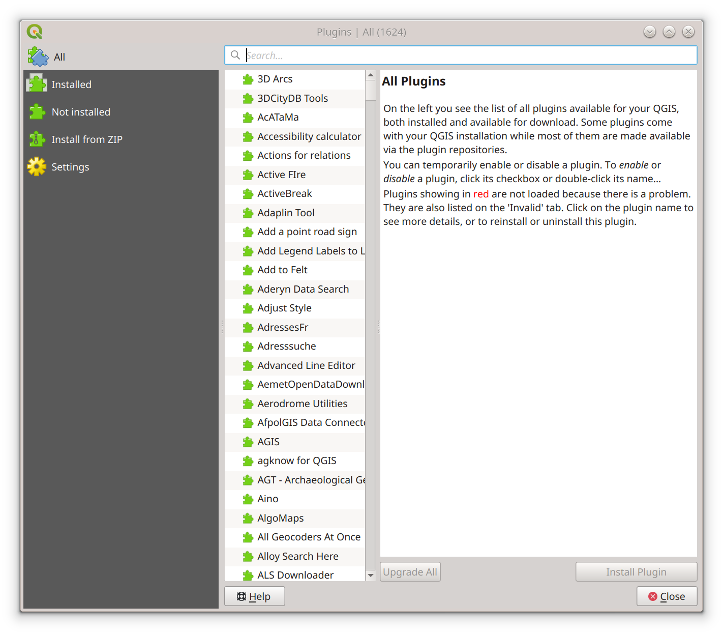
Activate the plugin installation window from the main navigation by clicking [Plugins] -> [Manage and install plugins].
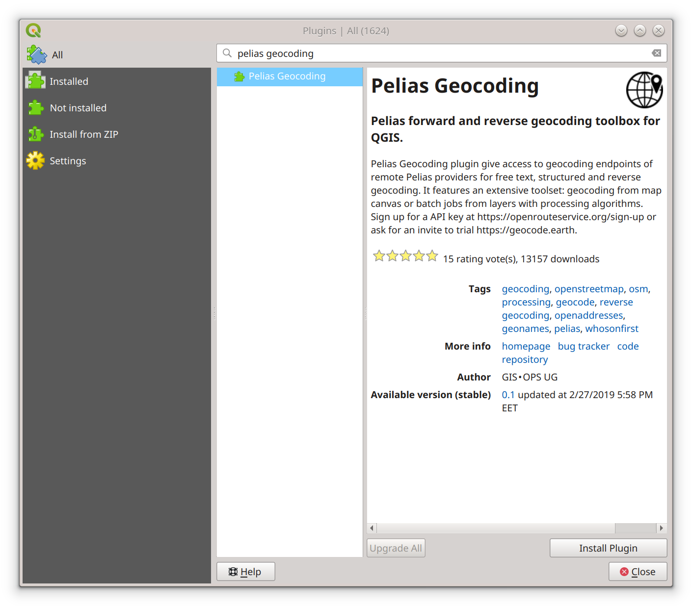
In the Plugins window search field, enter "Pelias Geocoding". Select "Pelias Geocoding" from the plugin list that
matches your search criteria. Click the [Install plugin] button. Click the [Close] button in the bottom right corner
of the Plugins window after installation is complete.
Configure Geocoding controls
Active the Geocoding configuration window by selecting [Web] -> [Pelias Geocoding] -> [Pelias Controls].
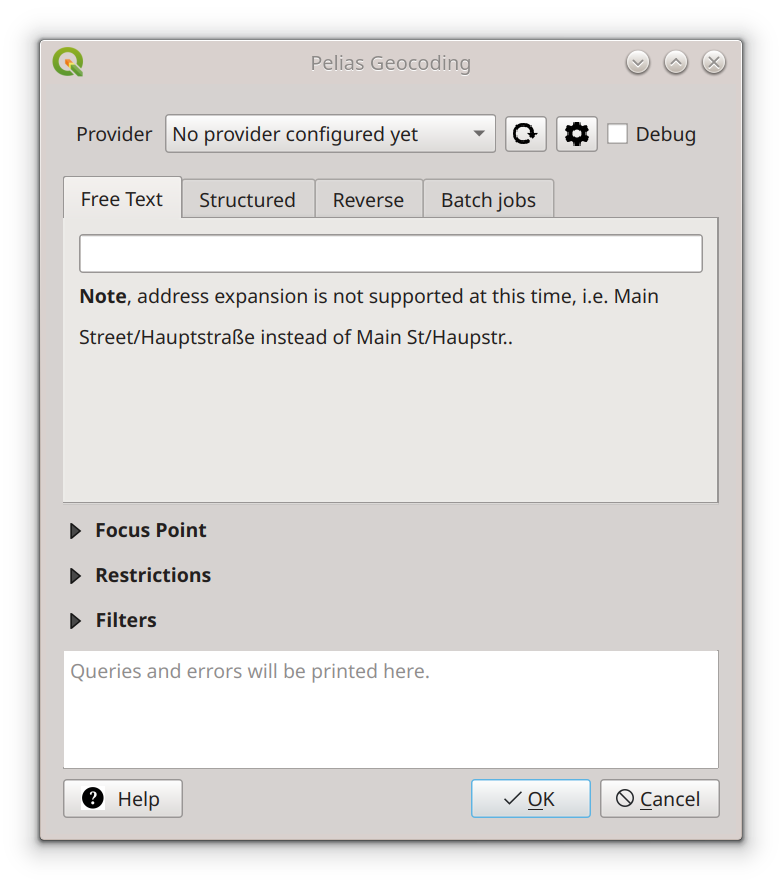
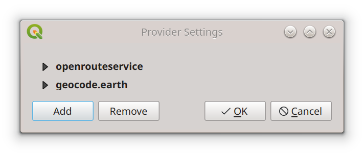
Near the provider field, click on the configuration button []. In the Provider Settings popup
click on the [Add] button.
In the new Pelias Provider popup, fill in the field "Enter a name for the provider" with
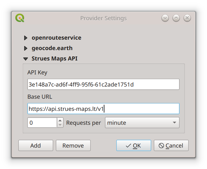
"Strues Maps API" and click [OK] button. At this point Pelias Provider popup will close, and the Provider Settings popup
will have "Strues Maps API" provider selected. Provider Settings window will have new "API Key" and "Base URL" fields available.
In "API Key" field, enter an api key you received during registration, and in the "Base URL" field, enter "https://api.strues-maps.lt/v1".
Click on the [OK] button in the bottom right corner of Pelias Provider popup.
At this point Pelias Geocoding window will be active with no provider selected. Click on the refresh button [].
Provider will have "Strues Maps API" field selected. In case you have other providers, click on the Provider select box, and choose
"Strues Maps API" option.
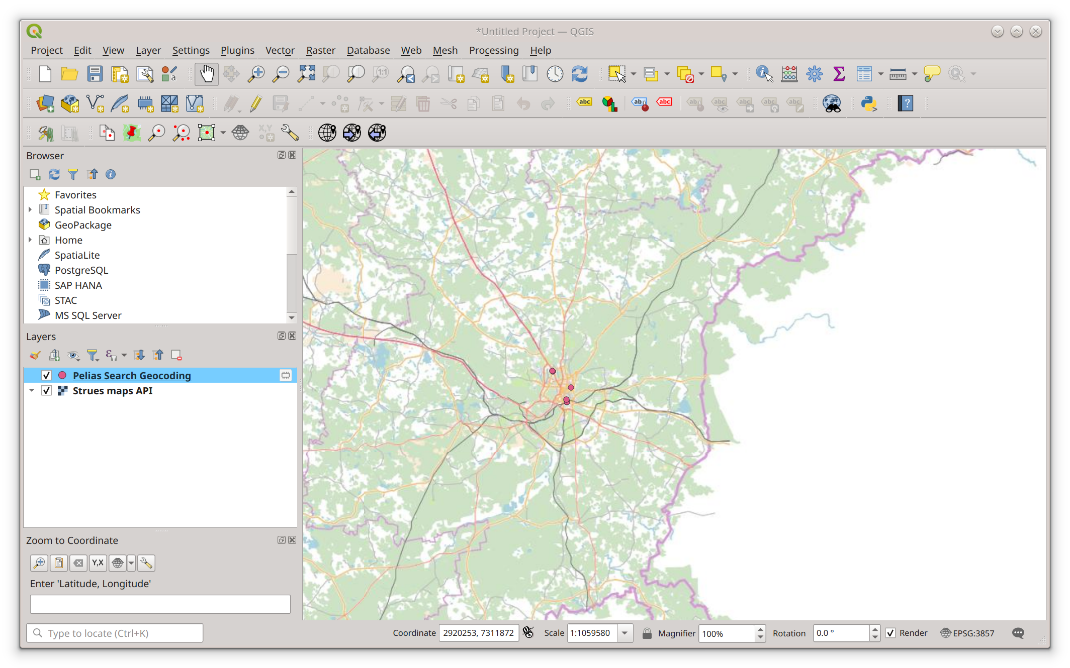
Perform Geocoding search
At this point Pelias Geocoding window will be active with "Strues Maps API" provider selected.
In the "Free Text" field, enter "Vilnius" and click [OK] button. New layer "Pelias Search Geocoding" with search results will be created and
added to the map.